 vesseltracker.com
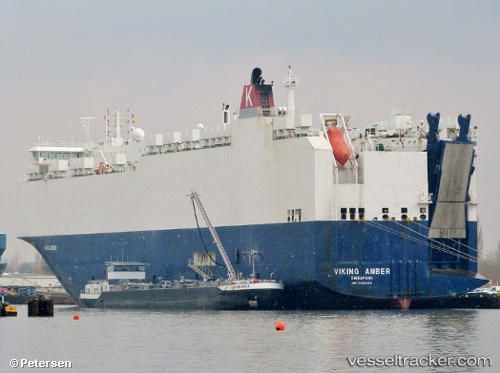
Find the position of the vessel VIKING AMBER on the map. The latter are known coordinates and path.
marine traffic ship tracker show on live map
The current position of vessel VIKING AMBER is 59.8809 lat / 10.6579 lng. Updated: 2025-07-16 13:29:06 UTCCurrently sailing under the flag of Marshall Islands
VIKING AMBER built in 2010 year
Deadweight:
12471 tDetails:
Last coordinates of the vessel:
2025-07-16 13:29:06 UTC, 59.8809, 10.6579, course: 243, speed: 1.1